




KOMPSAT


Korean Multipurpose Satellite was developed by Korea Aerospace Research Institute (KARI) and is also called KOMPSAT. SI Imaging Services has been responsible for commercial distribution of KOMPSAT images worldwide since 2014.
The electro-optical KOMPSAT series—comprising KOMPSAT-2, 3, 3A, and KOMPSAT-7 launched on December 2, 2025—continues to successfully execute its missions. Orbiting in Low Earth Orbit (LEO) roughly 15 times daily, it captures VVHR and VHR imagery applied in public safety, land·resource management, disaster monitoring, and beyond.
As the next-generation follow-on to KOMPSAT-3 and 3A, KOMPSAT-7 offers exceptionally detailed observation data powered by its 0.3m-class VVHR optical payload. The planned launch of KOMPSAT-7A with identical specs will establish an even stronger Earth observation system.
Applications
The optical and SAR imagery from KOMPSAT are used in remote sensing,earth observation missions, and various industries around the world.





Sample Imagery
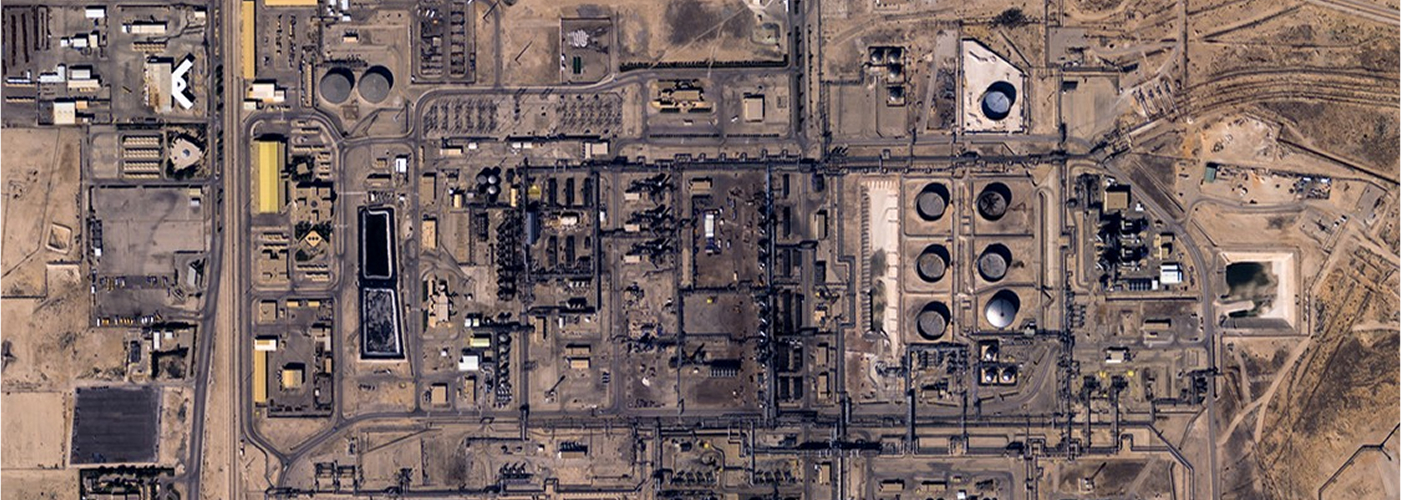
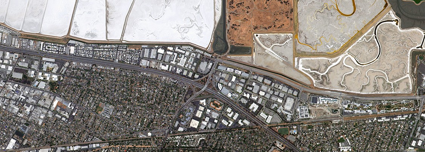
Expected Imagery of 0.3M Class
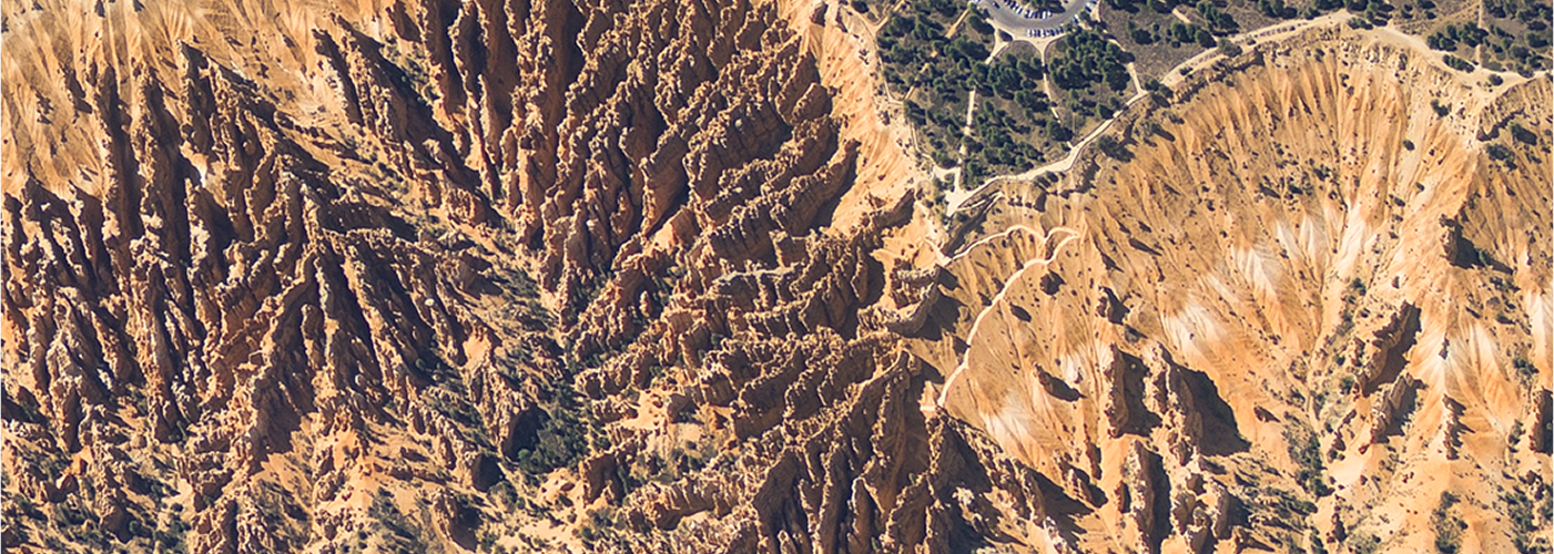
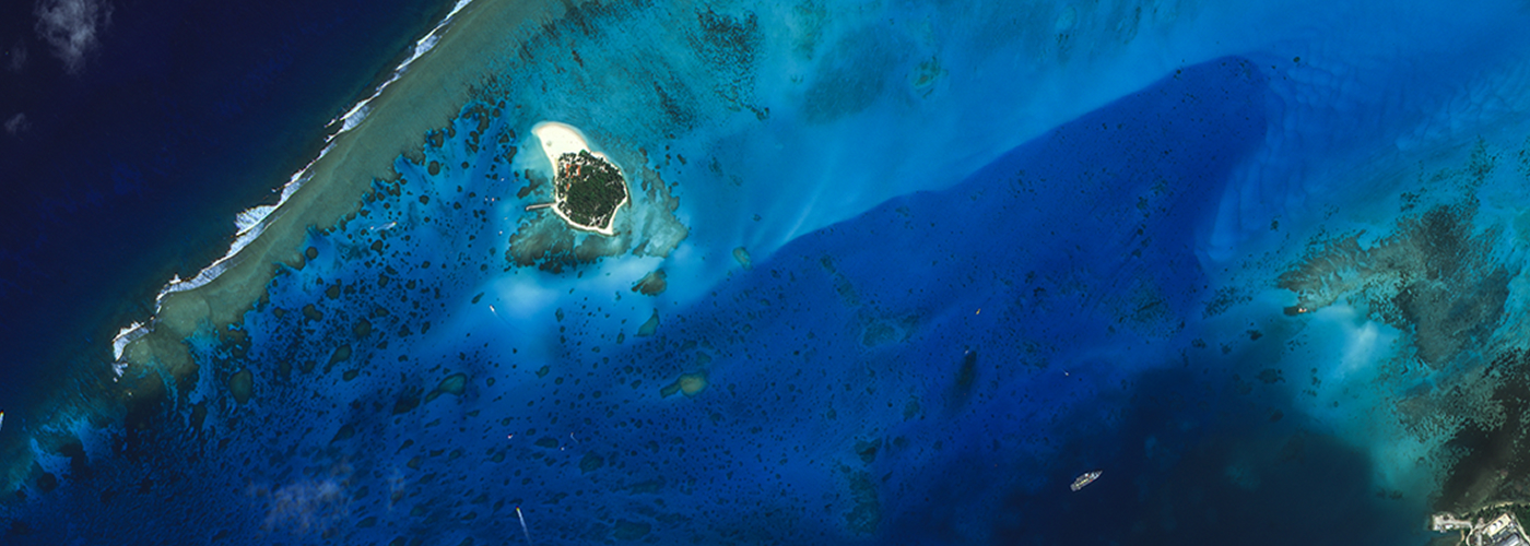
Expected Imagery of 0.3M Class
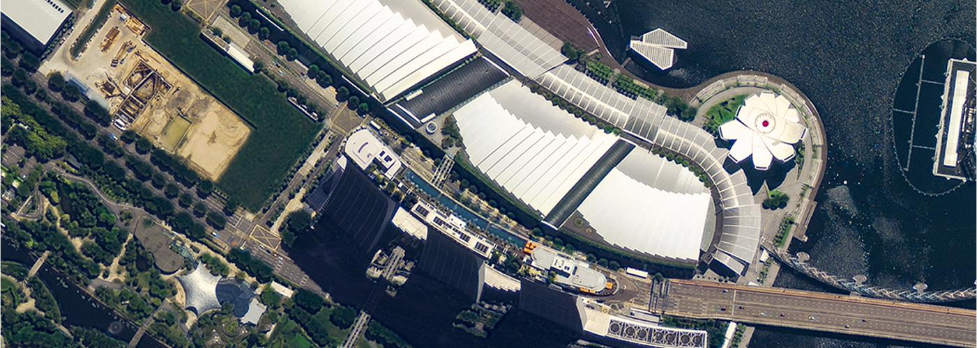
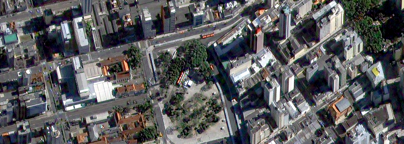
Expected Imagery of 0.3M Class
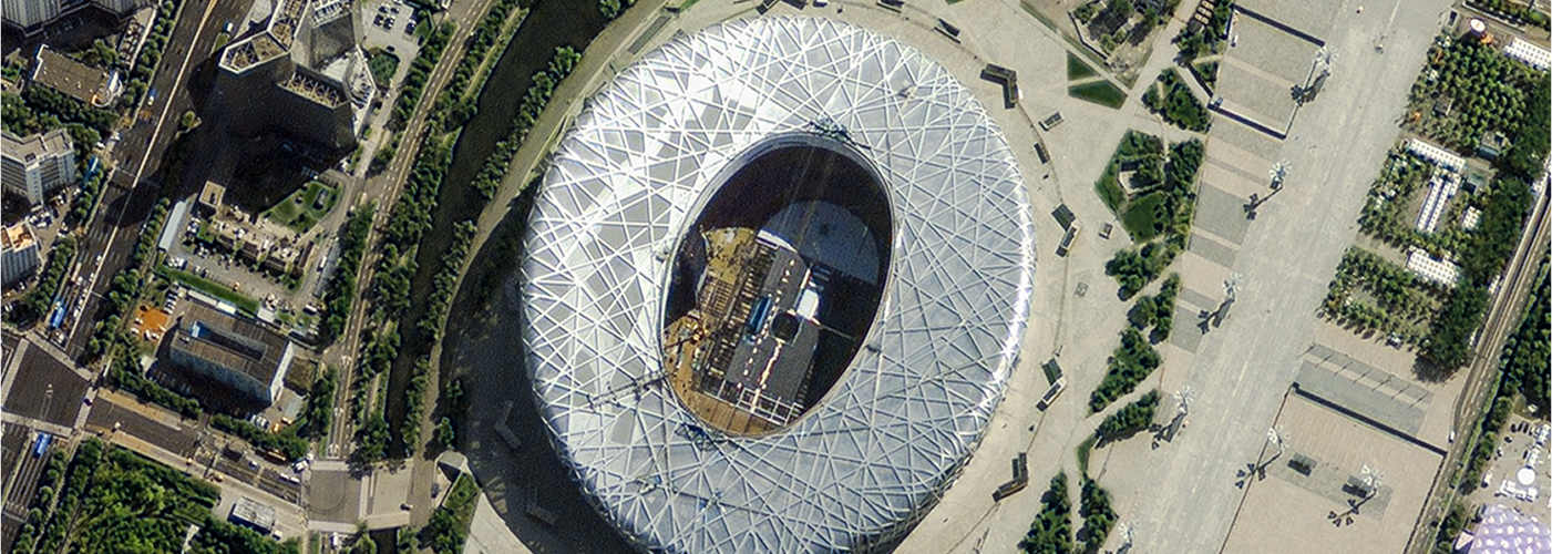
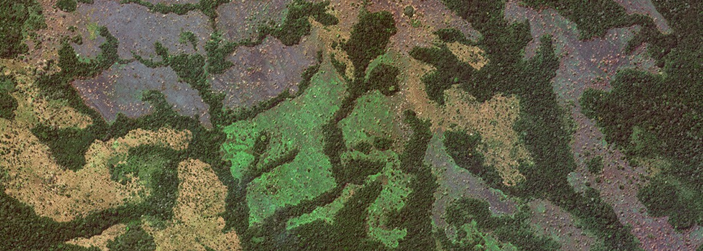
Expected Imagery of 0.3M Class
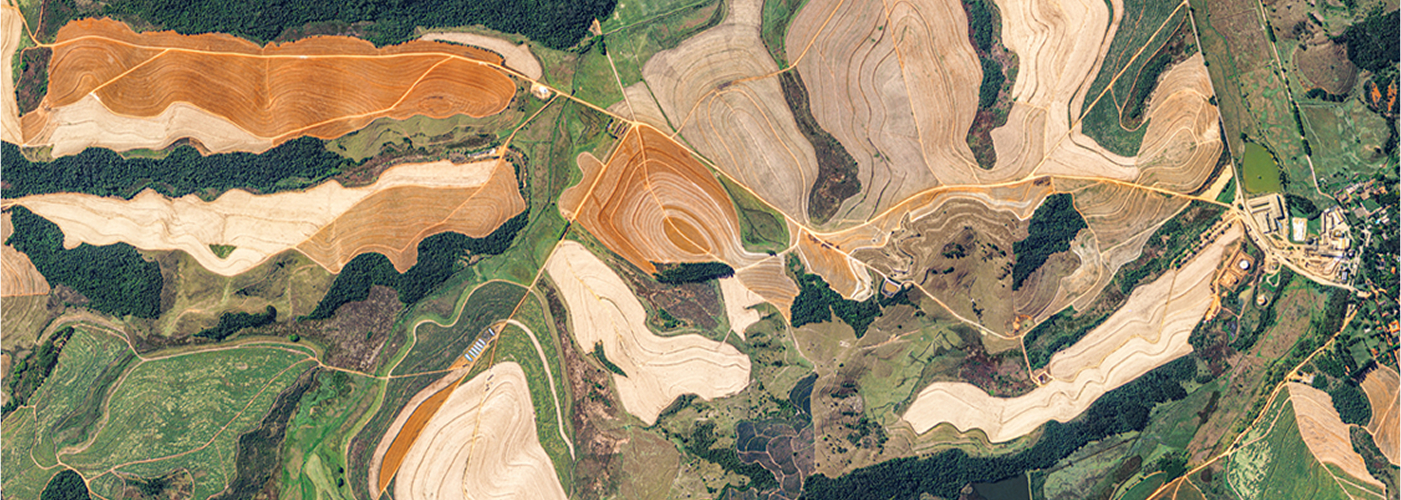
Expected Imagery of 0.3M Class



Specification

| Mission | Precise Earth Observation (EO+IR) |
|---|---|
| Resolution |
PAN 0.3m MS 1.2m |
| Bands | PAN + 4MS |
| Orbit | Sun Synchronous Orbit |
| Altitude | 685km |
| Inclination | 98.1deg. |
| Weight | 1,850kg |
| Launch Vehicle | Vega-C (France) |
| Launch Date | 2 December 2025 |
| Launch Site | Kourou, Guyana (French Territory) |

| Resolution |
PAN : 0.4m MS : 1.6m |
|---|---|
| Spectral Bands |
PAN : 450 ~ 900nm MS1(B) : 450 ~ 520 nm / MS2(G) : 520 ~ 600 nm MS3(R) : 630 ~ 690 nm / MS4(N) : 760 ~ 900 nm |
| Map Projection/Datum | UTM / WGS84 |
| Location Accuracy | 6.2m RMSE, < 9.4m CE90 with POD/PAD |
| Orbit | Sun Synchronous Orbit |
| Altitude | 528km |
| Inclination | 97.5deg. |
| MLTAN | 13:30 (local time) |
| Swath Width | 13km (nadir) |
| Data quantization | 14bits/pixel |
| File Format | GeoTIFF |

| Resolution |
PAN : 0.5m MS : 2.0m |
|---|---|
| Spectral Bands |
PAN : 450 ~ 900 nm MS1(B) : 450 ~ 520 nm / MS2(G) : 520 ~ 600 nm MS3(R) : 630 ~ 690 nm / MS4(N) : 760 ~ 900 nm |
| Map Projection/Datum | UTM / WGS 84 |
| Location Accuracy | 19.9m RMSE, < 30.19m CE90 with POD/PAD |
| Orbit | Sun Synchronous Orbit |
| Altitude | 685km |
| Inclination | 98.14deg. |
| MLTAN | 13:30 (local time) |
| Swath Width | 16km (nadir) |
| Data Quantization | 14bits/pixel |
| File Format | GeoTIFF |

| Resolution | PAN : 1.0 m / MS : 4.0 m @ altitude 685 km (nadir) |
|---|---|
| Spectral Bands |
PAN : 500 ~ 900 nm / MS1(B) : 450 ~ 520 nm MS2(G) : 520 ~ 600 nm / MS3(R) : 630 ~ 690 nm MS4(N) : 760 ~ 900 nm |
| Map Projection/Datum | UTM / WGS 84 |
| Daily Collection Capability | 1,700,000 km² |
| Orbit | Sun Synchronous Orbit |
| Altitude | 685 km |
| Inclination | 98.12 deg. |
| MLTAN | 10:50 (local time) |
| Swath Width | 15 km (nadir) |
| Data Quantization | 10 bits / pixel |
| File Format | GeoTIFF |
Get in Touch
Send us your inquiries, and we’ll respond promptly.

ADDRESS : 21, Yuseong-daero 1628beon-gil, Yuseong-gu, Daejeon, Republic of Korea 34054TEL : 042-341-0401
Copyright 2025 SIIS. All rights reserved. AdminFAMILY SITE