

Agriculture

It is required accurate information collected on a regular basis for precise farmland operation, such as detecting changes in farmland, observing productivity, and predicting yield levels. Through satellite images, you can predict the yield of crops according to the farmland boundary or check the growth status of crops through the difference in NIR (Near Infrared) data that is reflected according to crop conditions. It can also measure the condition of soil moisture to make farmland more efficient.
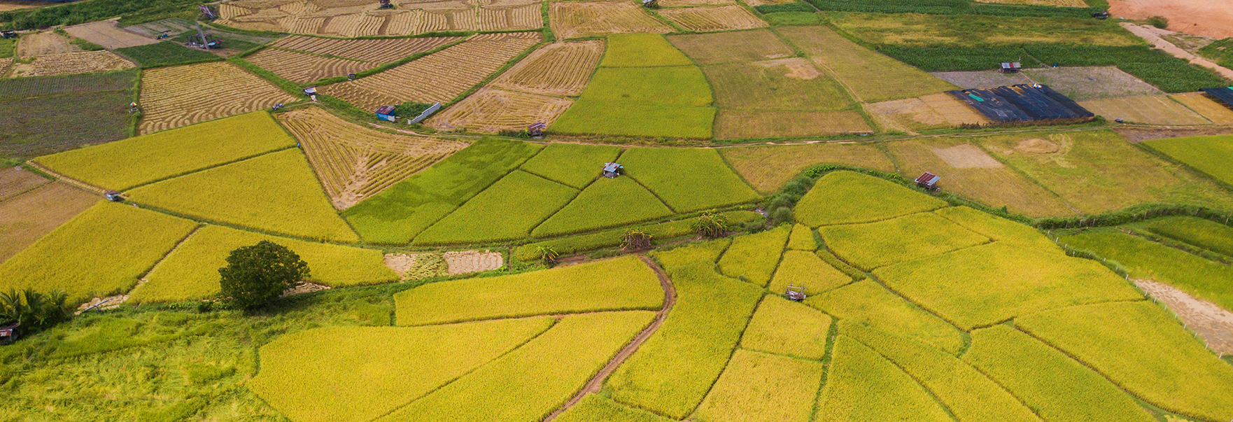
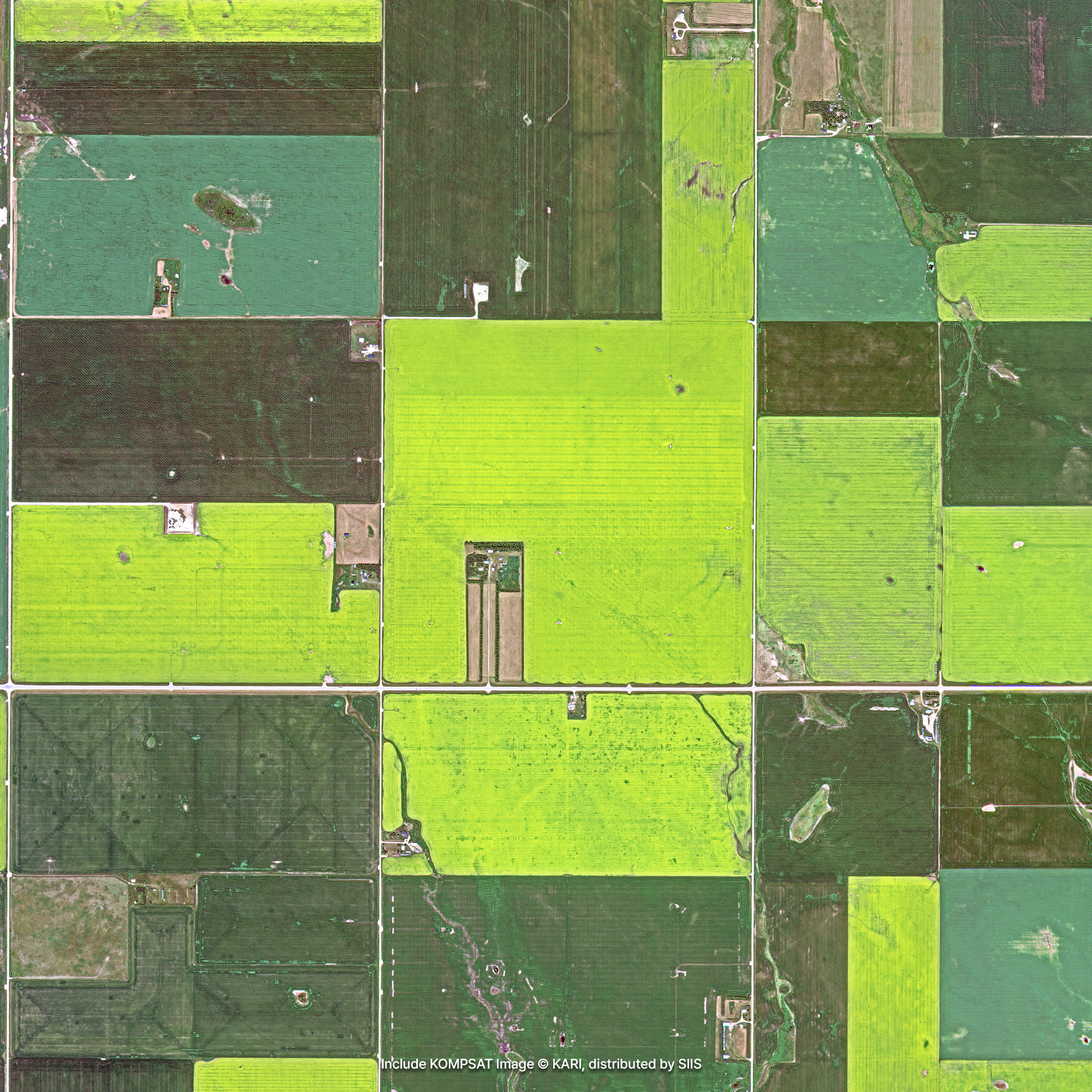
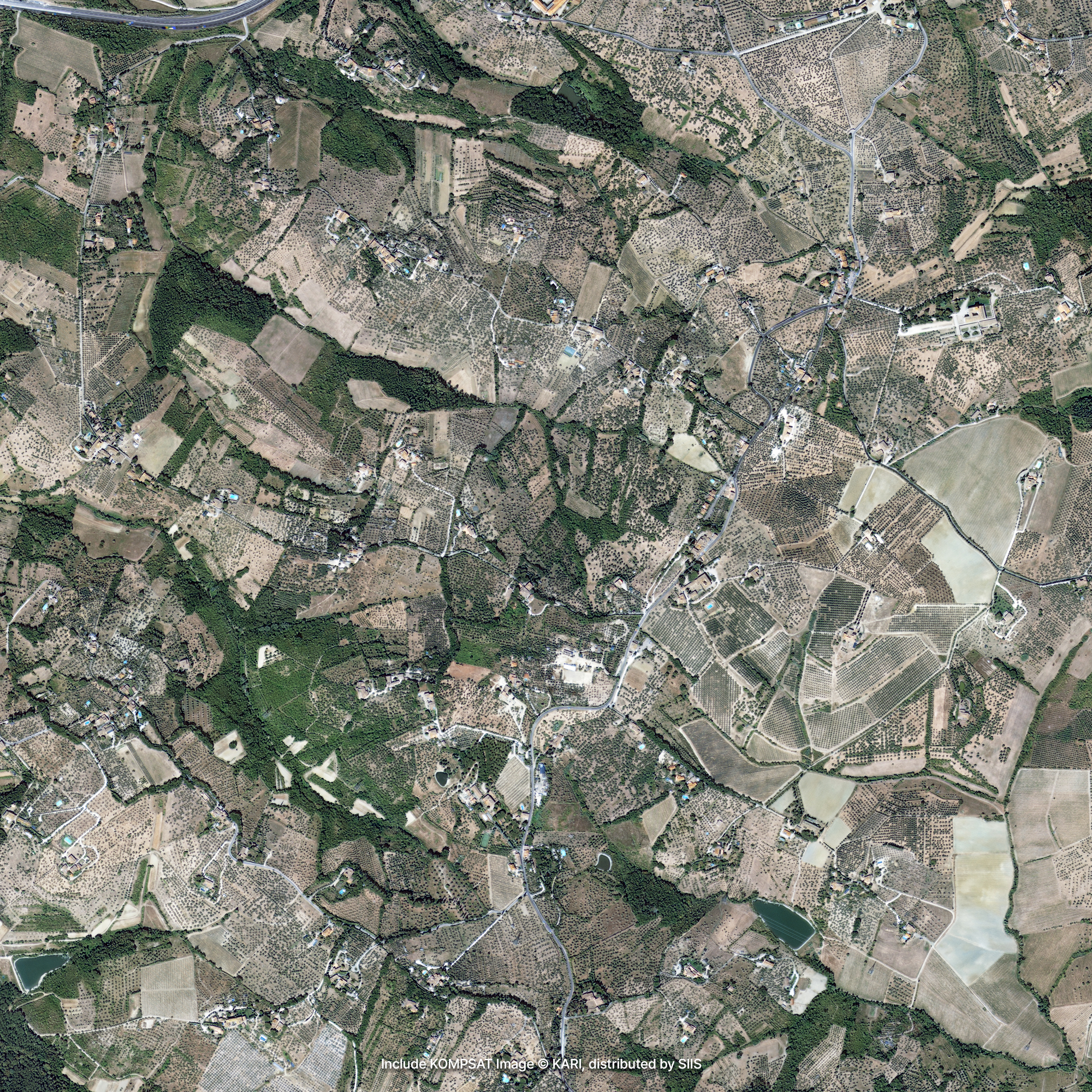
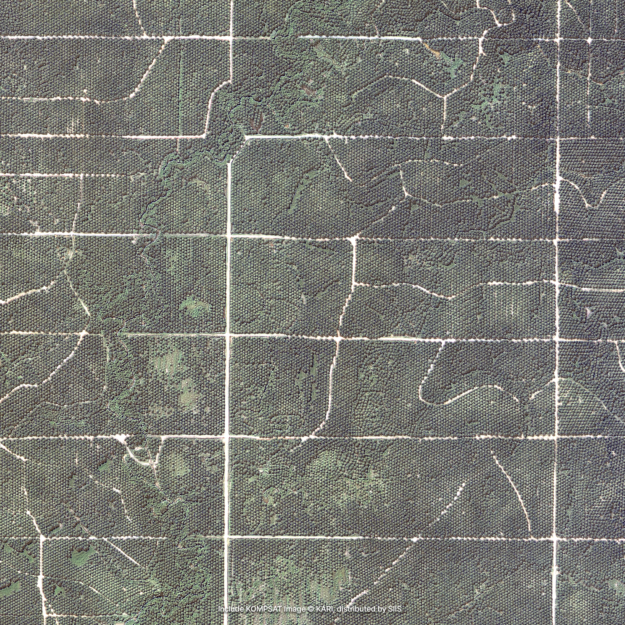
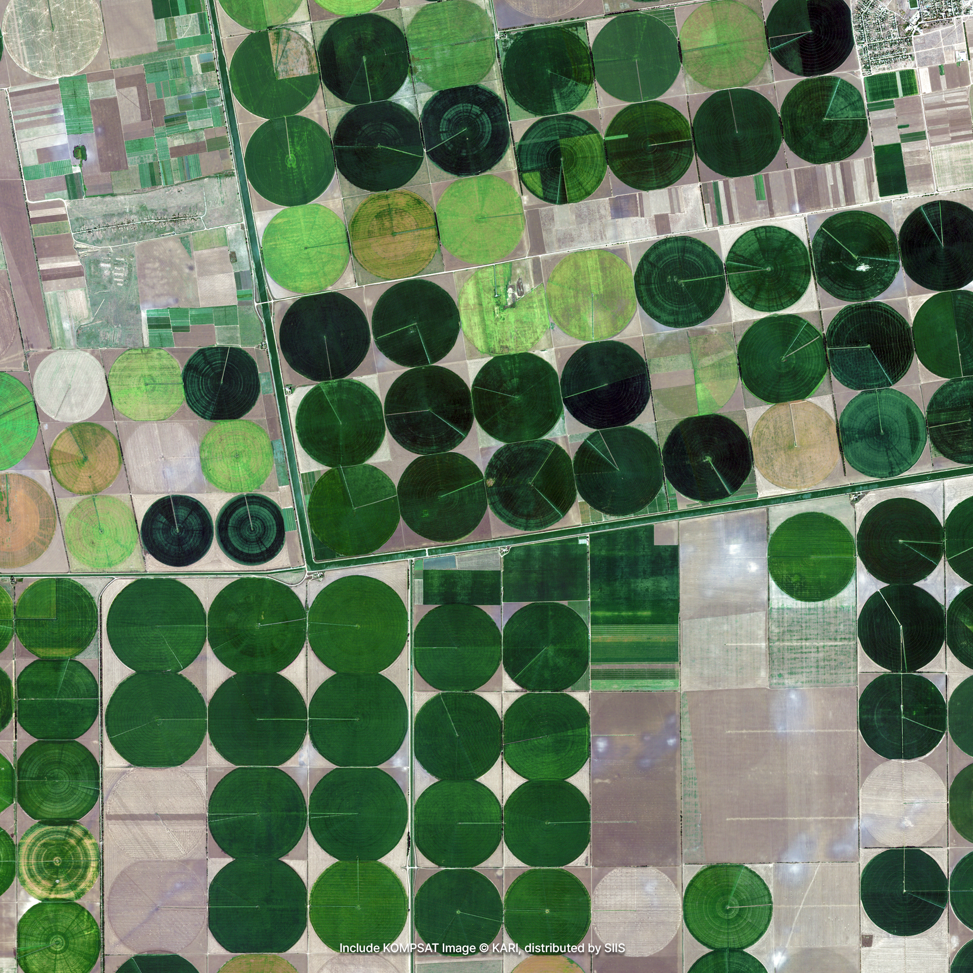
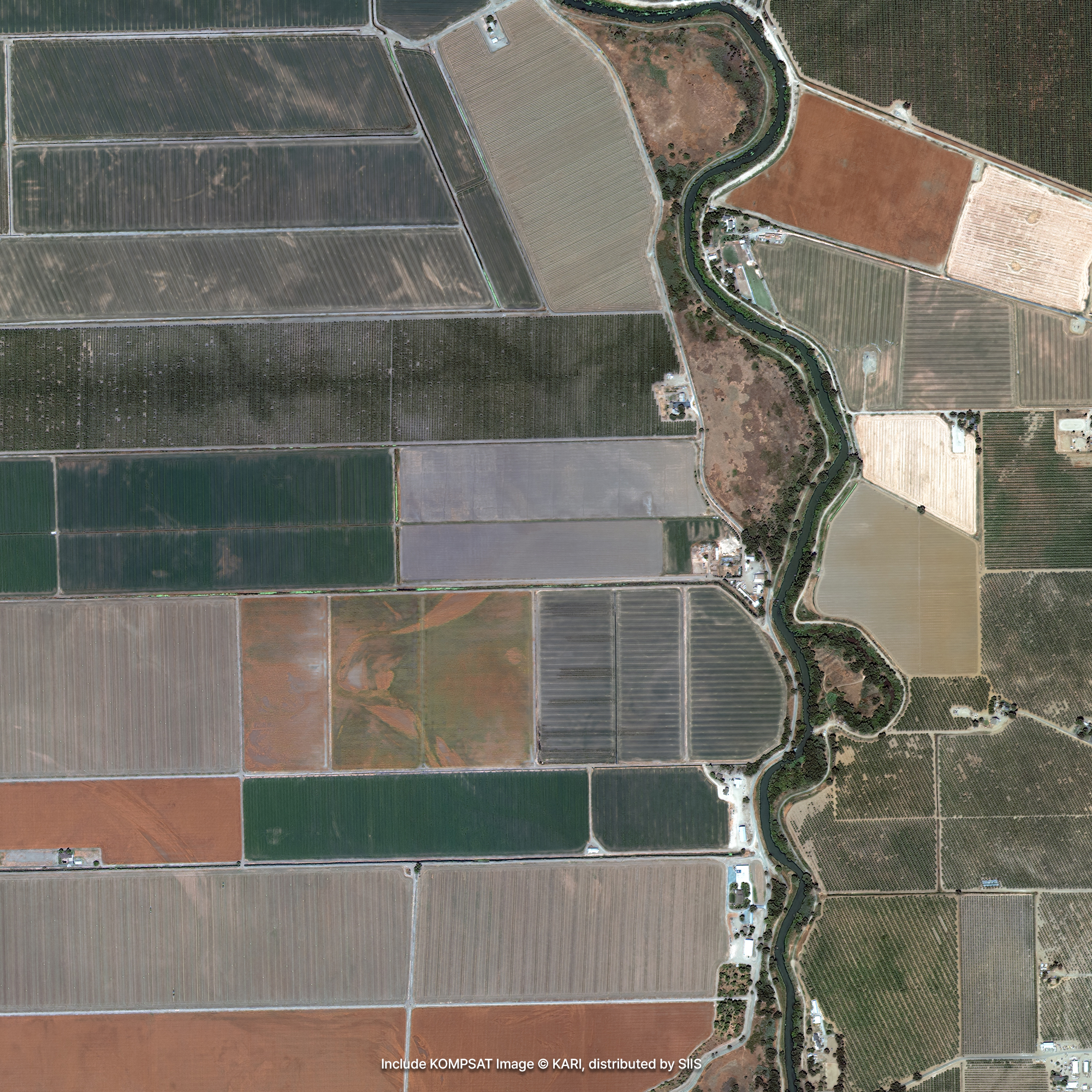
Sample Imagery

Applications

Operating Farmland
KOMPSAT's precisely calibrated optical sensors can provide a variety of information required for precise agricultural operations. Regular observation of large-scale farmland helps you efficiently operate the farmland by identifying regionally occurring drought points and preparing an active response system, or by identifying the type and cultivation area of crops and adjusting the supply and demand of agricultural products.

Monitoring Growth Status of Crops
Healthy plants reflect more NIR (near-infrared) energy. When a color image is created by matching images taken in the NIR, R, and G bands to each of red, green, and blue, areas where plants grow to stand out in red. As the growth is vigorous, visible light is used for photosynthesis and a lot of NIR light is reflected, so the area where plants grow well looks red. Using this feature, you can check the growth status of crops and quantitatively calculate their vitality.

Smart Farm
With the remote sensing system through satellite, the most efficient use of agricultural water can be promoted by carefully grasping the condition of crops growing in vast farmland. You can operate a smart farm by early exploring areas where abnormal symptoms are found and taking necessary measures, or by giving medicine or compost only to areas where pests or malnutrition appear. In addition, it is possible to observe crops and predict yield by creating a crop map by integrating information on when and in which area crops are sown and harvested and vitality information of vegetation obtained from periodic remote sensing.
Get in Touch
Send us your inquiries, and we’ll respond promptly.
ADDRESS : 21, Yuseong-daero 1628beon-gil, Yuseong-gu, Daejeon, Republic of Korea 34054TEL : 042-341-0401
Copyright 2025 SIIS. All rights reserved. Admin