


Mapping

It is difficult to collect geographic information covering each continent, such as Asia, Europe, Africa, America, and Oceania. It takes a lot of time and money to acquire such wide-area geographic information through manpower or other earth observation equipment such as airplanes and drones. Satellite images are much more economical in terms of cost and time. Since information of the same location can be obtained repeatedly, it reduces the range of error and enables the efficient expression of real-space information.
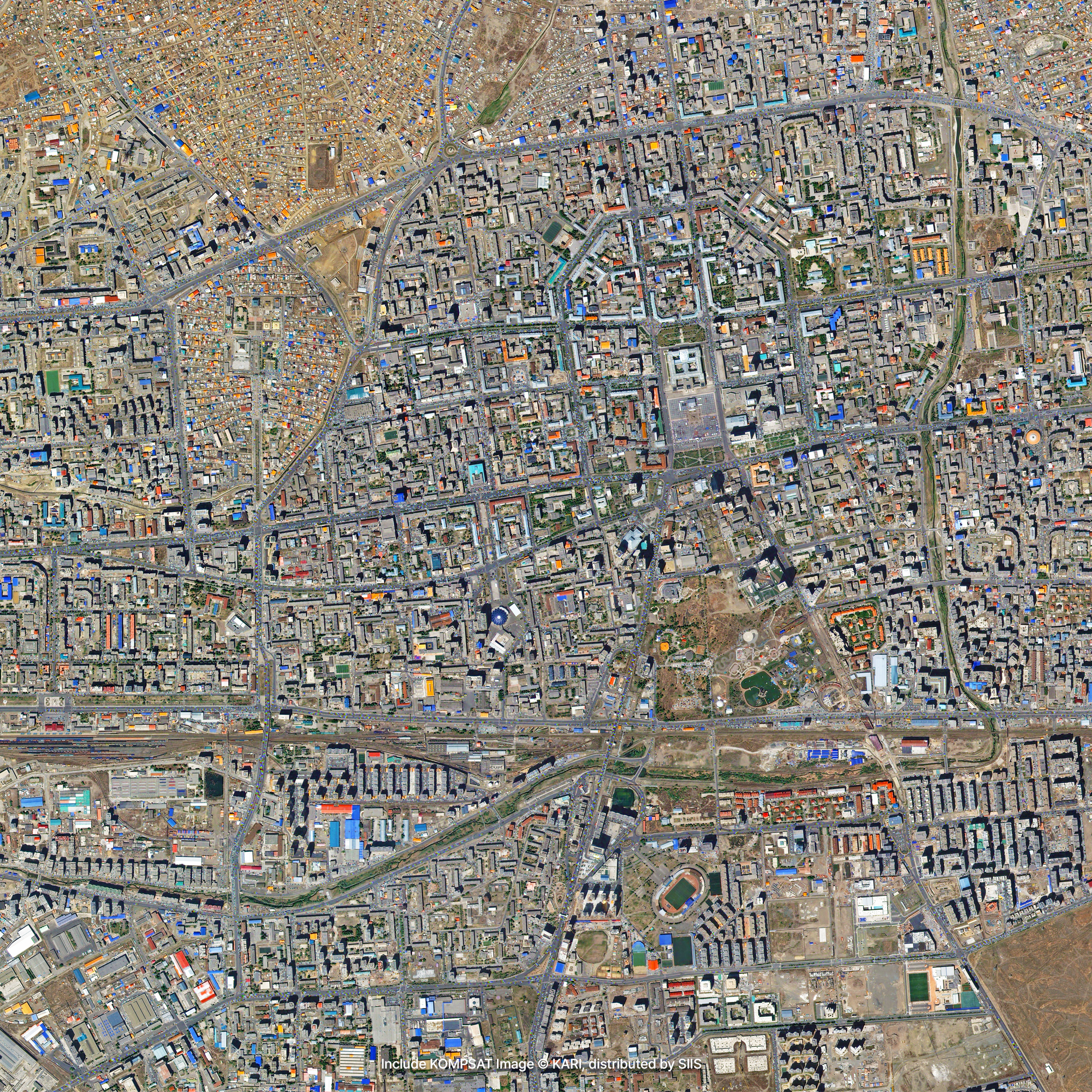
Sample Imagery

Applications

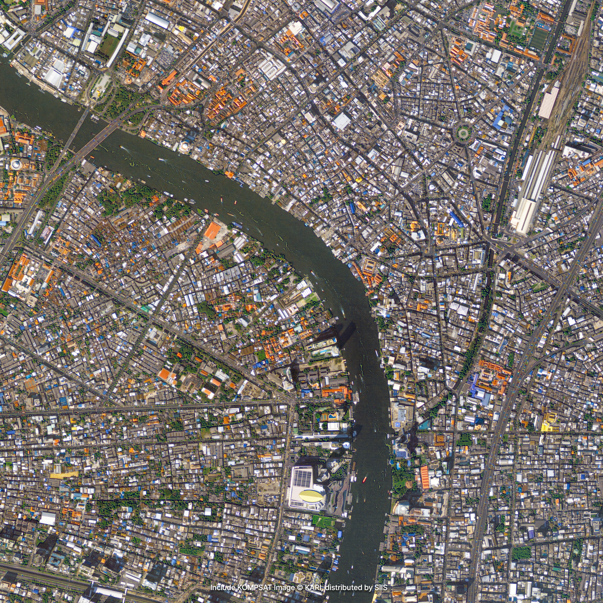
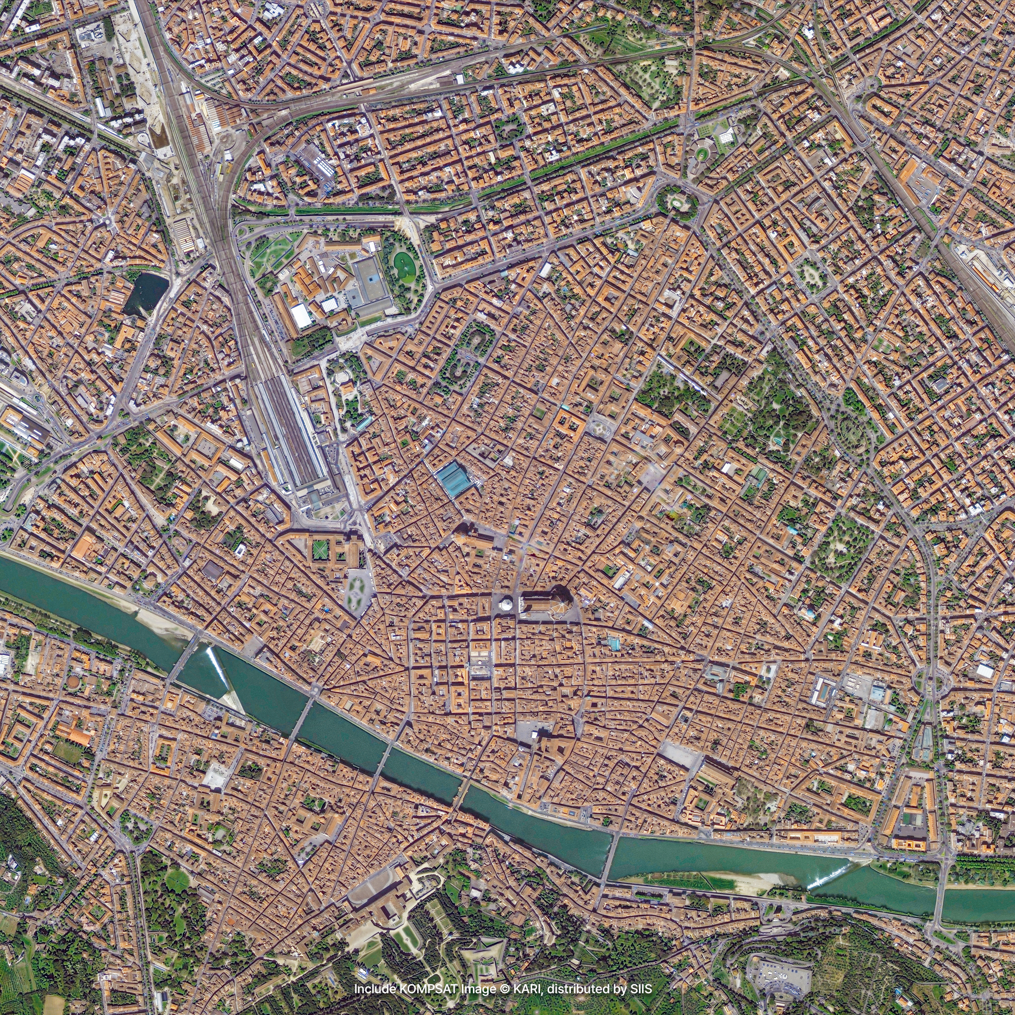
Mapping
Using the characteristics reflected from the land surface, you can create land cover maps according to land surface types or create maps for various purposes based on the user's convenience. In addition to ground reflection information, the shape and size of the pixels that make up the image are also important factors of data. KOMPSAT's very high-resolution imagery makes it possible to distinguish buildings of different shapes and sizes according to their function, such as houses and schools, or to collect up-to-date information on irregular road networks and land use.

DEM/DSM
DEM (Digital Elevation Model) refers to surface elevation data of only topography without vegetation and artificial features, and DSM (Digital Surface Model) refers to surface elevation data including vegetation and artificial features. Creating a precise DEM/DSM is possible through KOMPSAT images taken in stereo mode from multiple angles. DEM/DSM is used in various fields such as monitoring of difficult-to-access terrain, urban planning, and communication networks, and is particularly useful for 3D map production. In addition, 3D maps using DEM/DSM are particularly useful to observe the mining status of natural resources such as minerals at a glance.
Get in Touch
Send us your inquiries, and we’ll respond promptly.
ADDRESS : 21, Yuseong-daero 1628beon-gil, Yuseong-gu, Daejeon, Republic of Korea 34054TEL : 042-341-0401
Copyright 2025 SIIS. All rights reserved. Admin